Open the provider for current status. Durango city notices do not cover every county water system.
Información esencial en español
En una emergencia, llame al 911. Para instrucciones de evacuación y refugios en el condado de La Plata, llame al 970-385-8700. Para ayuda de recuperación, llame al 866-760-6489. No camine ni conduzca por el agua de una inundación. Este sitio no envía ayuda de emergencia.
What to take if you are told to evacuate
People and pets first. Bring medications, phone and charger, essential documents, warm clothing, water, and pet supplies if you can do so safely. Do not delay an evacuation to gather belongings. Follow county instructions.
Ways to help include relief/shelter support, donation sorting and logistics, transport, community outreach, office work, translation and other specialized skills. Choose seated or light work if that suits you.
Open the coordinator’s form and choose the area you can support.
Share your skills, availability, transport and activity preferences.
Wait for a coordinator to confirm an assignment and instructions.
The external form asks for contact information, an emergency contact and sharing consent. Submit those details directly to the coordinator; this site does not collect them.
General application pathway, not a confirmed local shift. Already a volunteer? Use your Red Cross Volunteer Connection account for assignments.
Example roles and eligibility
Shelter roles can include reception, registration, feeding, information and other day-to-day support. Licensed health professionals can explore Disaster Health Services.
PREPARE BEFORE YOU GO
Before you volunteer
Do not self-deploy. Do not arrive at a shelter, supply location or damaged property without coordinator instructions. Follow road closures and evacuation restrictions.
Supplies, vehicles, equipment or a work crew? Check the regional response page and ask the coordinator what is currently needed before transporting anything.
Call 970-283-7325 to request help through Crisis Cleanup. This number is for affected households, not the volunteer registration line. Assistance is not guaranteed.
The incident page was intermittently unavailable during verification; the direct registration form and volunteer information page provide alternate paths.
This hub’s live alerts and evacuation map cover Durango and La Plata County. Regional organizations also serve neighboring communities. For example, Pagosa Springs’ official flood recovery page directs volunteers to Colorado Responds. Donation acceptance and travel rules can differ by location.
Donate to regional relief
The Community Foundation’s Community Emergency Relief Fund supports organizations responding across Southwest Colorado.
CERF General Fund is regional relief, not a Durango-only fund or direct payment program.
CIRA / NOAA GOES GeoColor · Informational cloud imagery, not operational flood detection. Image file-update time differs from acquisition time printed on the image.
Photos document a past moment, not current safety. Submissions require review before publication and expire 24 hours after observation.
▧
No community photos published yet.
Only reviewed submissions appear here. For published flood photographs, visit the original local news sources above.
About this resource
Independent community project. Live data currently covers La Plata County; this is not a regionwide emergency operations system. Not affiliated with the county or emergency services.
Sources, update schedule and privacy
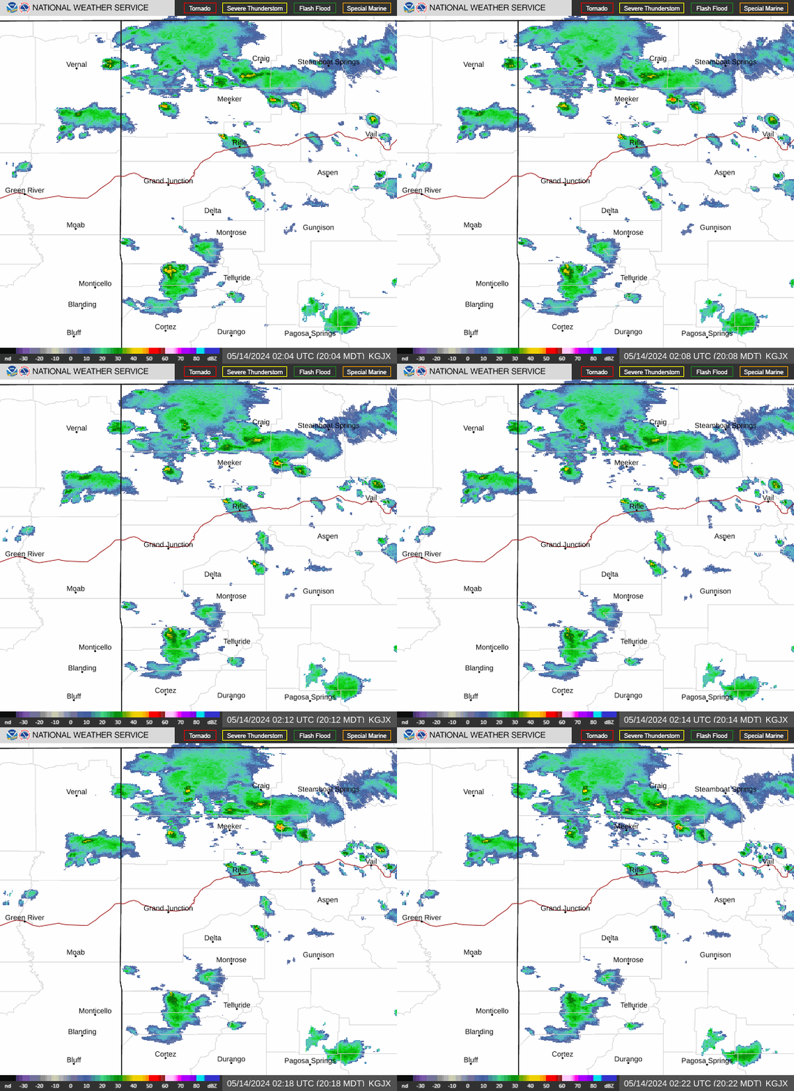
Official feeds: La Plata County emergency webpage and GIS, National Weather Service, NOAA National Water Prediction Service. Data refreshes every 2 minutes while this page is visible and when you return or reconnect. Radar and satellite metadata refresh every 4 minutes only while open. The site does not send notifications when closed; use LPC Alerts for that. Upstream information can be delayed. County webpages may not provide a publication time.
No advertising or analytics trackers. Maps request tiles from OpenStreetMap, which receives your IP address. Loading weather imagery or audio also connects your browser to NOAA or the radio-stream provider. Official source links take you to other organizations with their own privacy policies.
Community submissions are queued for review, not delivered to emergency services. Do not include names, contact information, medical details or exact residential addresses. Approximate coordinates and approved photos may become public. New photos are re-encoded before upload to remove EXIF metadata. A deletion receipt lets you remove your submission without an account. Public reports expire 24 hours after observation. Submitted content can remain in storage until the operator removes it; automated deletion is not active.
Technical outage? Use the direct county links and phone numbers above. Questions about an official instruction belong with the issuing authority.